Flexible Trail Maps Made for Bikeparks
Put your trails in the spotlight! Map and promote every section of your trail network to excite and inform your mountain biking audience.
Key Benefits
Let your dirt speak
for itself.
Create
Bring your data easily into Gravity Map and add Bikeparks, Trail Networks, Trails, Lifts and Features in great detail.
Integrate
With common embed standards, efficiently integrate your map on any website or web-based platform.
Share
Engage with your MTB audience and bring them up to date about your bikepark, trails and everything it includes.
Customize
Manage, maintain and update all your bikepark based information on this user-friendly platform.
Features
All the necessary features - and more...

2D and 3D Mode

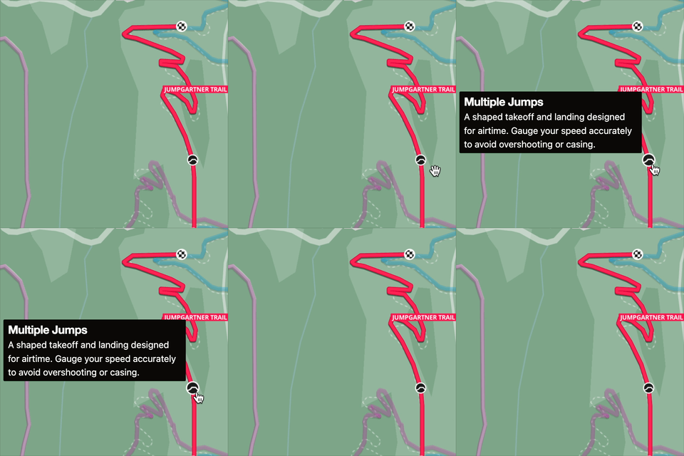
Colorful Map Styles

Enhanced Metrics

Highlights

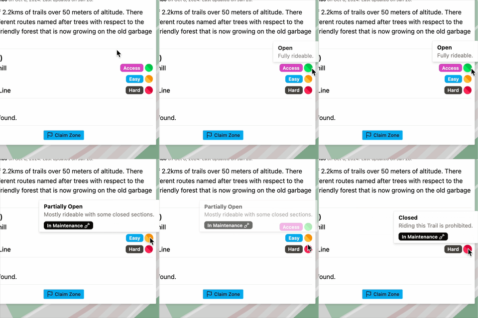
Customizable Statuses
Sign up and start Shaping.
You can get started, right away.
Organizations
Superpowers for Bike-friendly
Organizations
Claim a Zone
Once you added your Bikepark or trail network (Zone) from the organization you are a part of, Claim it and gain direct editing rights. You control the data.
Work as a team
Add colleagues and team mates to the platform and assign custom roles and permissions. Control who is able to edit what and when and keep your data up to standard.
Revision Handling
Everyone can contribute to the data thats on Gravity Map. Manage revisions that community or team members make and easily enhance your data.
Engage with your crowd (coming soon)
Allow users to ride and record with Gravity Map. Enhanced tracking with fun and flowy metrics, daily leaderboards and more...

Gravity Map is in Active Development.
We are actively working on Gravity Map at the moment. The current version is live and open, free to use and explore. Just know that a lot will change over time.
Let us know what you would like to see in Gravity Map, or if you would like to support development, want to try out a few things or just want to stay in the loop!
hello@gravitymap.bike